Friday, August 28, 2020

Dinosaur Ridge near Morrison, Colorado


Dinosaur Ridge is a Mesozoic “hogback” (a resistant ridge) in Colorado, near the town of Morrison, west of Denver. On the west side are Upper Jurassic mudstones known as the Morrison formation.  Dinosaur bones and some footprints are found in the Morrison. On the east side are younger Cretaceous sandstones, the Dakota formation.  Most of the dinosaur footprints, trace fossils and ripple marks are seen in the Dakota.  Cross section below from the James St. John website. 


This is a road-cut at the top of the hogback showing the Cretaceous/ Jurassic boundary. Note the globular concretion in the Morrison.

 Morrison


This therapod track was found in a boulder and moved to its current location. It maybe from a young Allosaurus.  Therapods were three-toed carnivores and are the distant ancestors of modern birds; in fact, some had feather-like skin covering.

This Allosaurus is a typical three-toed, carnivorous therapod.

This bulge is probably a sauropod foot print (possibly an Apatosaurus), seen in cross-section.  Sauropods had very long necks, long tails, small heads and four thick, pillar-like legs.

The Apatosaurus is a typical sauropod, much like the famous brontosaurus.

A rare velociraptor (commonly shortened to "raptor") footprint.  They were related to the related to the therapods. This is one of only twelve raptor sites in the world. 

Bones of a sauropod dinosaur, possibly an Atlantosaurus (similar to the Apatosaurus above).

 Dakota

Iguanodontid and theropod dinosaur tracks; stained gray with charcoal for easier visibility. Iguanodontids were large herbivores which were both bipedal and quadrupedal. 


An Iguanodon.

Crocodilian claw scratch marks


Ripple-marks made in shallow water. 

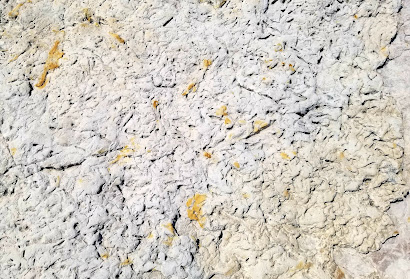
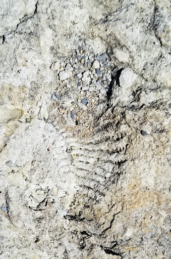
Invertebrate trace fossils: burrows made by invertebrates in the soft shoreline mud. 

Tuesday, August 4, 2020

These guys were pretty huge !!!!


So what on earth is Sharon sitting in?  We are in the Blanco River bed if that helps. 


And here are more:


Does this give you a clue?


The size looks right


Sometimes they are enhanced by the river water


And they usually form a linear pattern


By now you have guessed. Sauropod (Greek = "lizard foot") tracks.   These are in the Glen Rose formation of the Lower Cretaceous.


The Glen Rose is a widely distributed shallow-marine formation as indicated both by ripple marks and abundant marine invertebrate fossils.


These types of tracks are not that uncommon in Texas but these are conveniently close to Austin and San Antonio.  How do you get there:

Take FM 1623 west of Blanco. In just over three miles you pass the intersection to CR 103 (Trainer Wuest Rd.) on the left.  Shortly thereafter, there is safe and convenient parking on the side of the road.   Walk back to Trainer Wuest Rd. and take it down to the river.  If it is safe to do so, you can then hike the river bed east (towards Blanco) for a few hundred yards and should easily see plenty of tracks in the exposed Glen Rose formation. Its then probably worth backtracking to the Trainer Wuest Rd. river crossing and keep on going to the west for half a mile or so.  There are more tracks to see on this stretch. 

Some other thoughts:
  1. Never, ever hike the river bed if the water level or flow rate creates an unsafe situation. 
  2. This blog entry does not imply that it is legal to access the river bed in Blanco County. I have no clue about private land/river rights.
  3. The dirt road (Goldwin Smith Rd.) on the south side of the river is definitely private property. 
  4. See last week's blog entry for info. about the therapod (carnivore) tracks on the San Gabriel River.